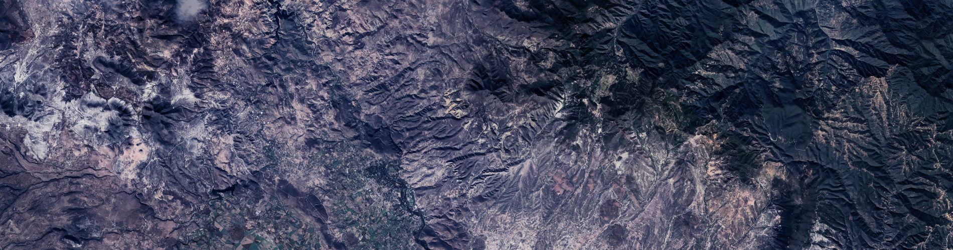
We offer a cost-effective 3D mapping and modeling service. Obtaining a 3D model and a 3D map before drones was prohibitively expensive and difficult due to terrain and logistical difficulties. Even the tiniest regions used to take weeks or months to model, but now you can receive a 3D modeling service in a couple of days. Drones offer convenience, short turnarounds, and the cost-effectiveness of 3D modeling.
The precision of the 3D model is ensured by cutting-edge technology, thousands of High Definition pictures, and several flights. We can even convert your images into video animations for commercial or promotional usage. Our 3D drone mapping renders are also compatible with CAD systems.
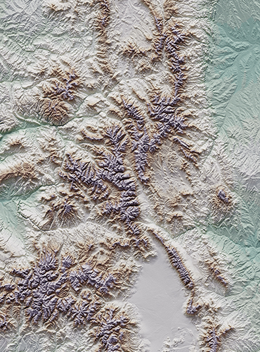
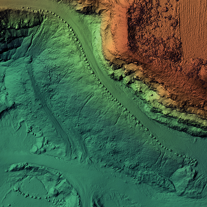
Hundreds of drone photos, geo-referenced GPS coordinates, and altitude data were intelligently combined into amazing 3D models using powerful software and AI.
With remarkable detail and clarity, spin, rotate, and maneuver around your model. Deepen your understanding of your project and visualize it from previously unknown perspectives.
What exactly is a drone?
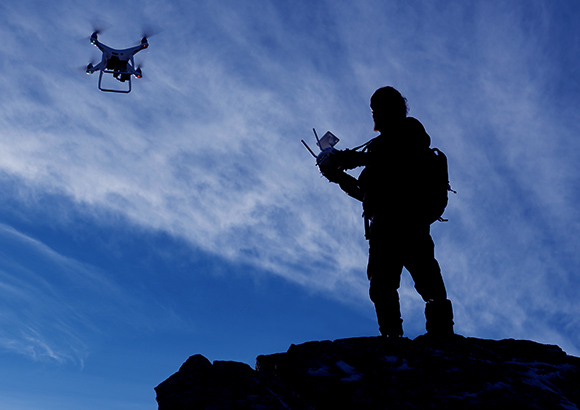
Unmanned aerial vehicles (UAVs) are sometimes referred to as "drones." A "drone" is a flying robot that can fly independently using software-controlled flight plans or through a remote control device.
Is a drone pilot's license required?
In Greece, a drone pilot's license is required to fly a civil drone. Visit the Hellenic Civil Aviation Authority's website for the latest up-to-date information.
What exactly is "aerial photography"?
Aerial photography refers to any video or photo taken from the air. While helicopters were once the most frequent mode of aerial photography, now that powerful battery-powered multi-rotors are available, aerial photography is more accessible than ever.
Can you fly in a densely populated city?
Every drone firm in Greece is required to register with the Hellenic Civil Aviation Authority (HCAA) and follow a set of regulations and distances in order to operate lawfully.
Is it possible to fly in any weather?
Safe, dependable equipment, proper risk reduction, and comprehensive planning to maximize available time are the best ways to overcome this. Our staff allows us to take advantage of these possibilities and reach various destinations and operations in a way that few others can, passing these savings on to our clients.
How much does it cost?
Each process is unique and depends on the end product and requirements. The best way for us to assess your project in terms of pricing is to contact us for a free no obligation quote.